


Somewhere between Ligonier and Ohiopyle, the hills go from green to gold and back again, sometimes more than once in the same afternoon. A Laurel Highlands fall foliage road trip meanders through three counties and many spectacular drives, with a different color show waiting depending on which road you take.
This guide walks through three that capture the best views, Route 30 into Ligonier, the climb through Forbes State Forest, and the run down to Ohiopyle, each one paired with a harvest-season stop worth building your day around. Whether you're coming from Pittsburgh, Cleveland, Baltimore, or DC, pick one for an afternoon or string all three into a weekend.
What's the Best Week for Leaf-Peeping in the Laurel Highlands?
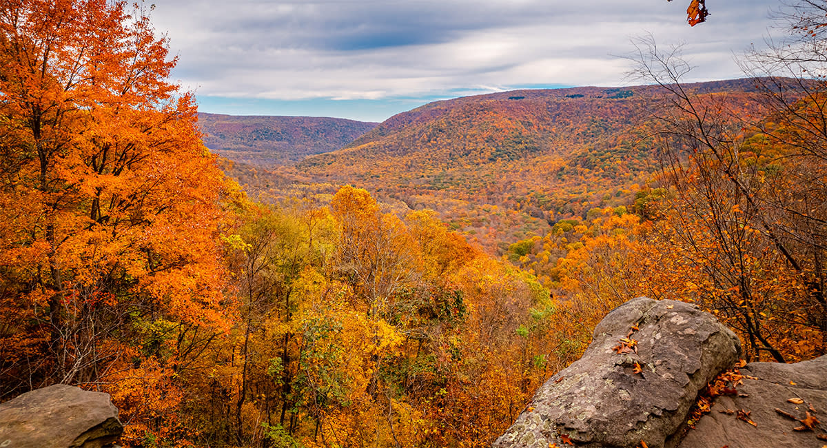
There isn't one fixed week, and any source that gives you an exact date is just guessing. Leaf color change is driven by shortening daylight and dropping temperatures, and how vivid or muted a given season turns out depends on rainfall and weather patterns that vary year to year. That's true everywhere in the Northeast, not just here.
Elevation is what makes the Laurel Highlands especially tricky to pin down on a calendar. Higher ground near Laurel Summit and the Seven Springs area tends to come alive with color before the lower valley around Ohiopyle, so you can often catch color at one elevation while another is still green a week or two behind it, the same gap described at the top of this guide. If you're looking for the best spots to see fall foliage in one trip, spreading your route across more than one of the drives below, rather than picking just one, is how experienced leaf peepers do it.
For the most current read on where color actually stands, check the Pennsylvania DCNR's weekly fall foliage report before you head out. It tracks conditions region by region through the season. Bookmark it and check back a few days before you leave, not just once while you're still planning.
Planning Your Laurel Highlands Fall Foliage Road Trip
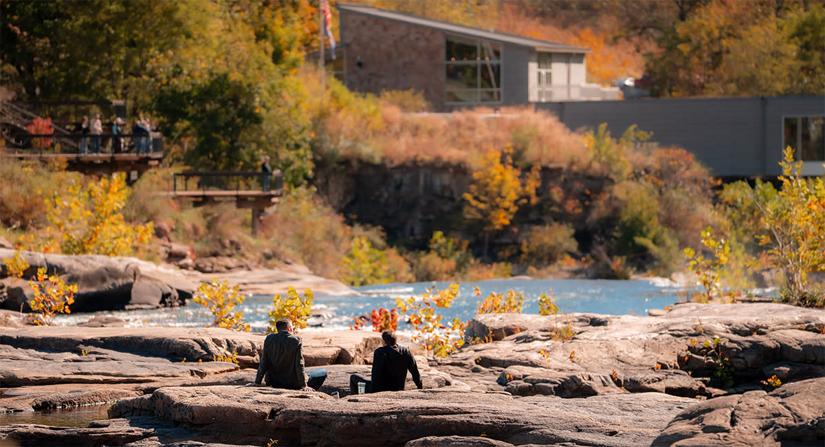
Each of the three segments below works as a stand-alone day trip for any traveler, or you can string two or three together into a weekend. Plan for a full day per segment if you want to have time to get out of the car at each stop, rather than just driving through.
At a glance:
|
Segment |
Approximate distance |
Notes |
|
Route 30, Latrobe to Ligonier |
11 miles, about 15 minutes |
Confirmed distance |
|
Routes 711/381, Ligonier to Seven Springs |
Roughly 24 miles |
Approximate, mountain roads add time beyond straight mileage |
|
Route 381 South, Champion to Ohiopyle |
Roughly 15-19 miles, about 25-35 minutes |
Budget extra time; this leg includes several stops worth stretching out. |
A few other things worth knowing before you lock in a route:
-
Ohiopyle crowds: This park draws the biggest crowds on the whole route, especially on fall weekends. Parking near the main falls and visitor center fills fast once the color turns, so arrive early if it's your main stop, or build your day around the other segments first.
-
Where to base yourself: Ligonier, the Donegal and Seven Springs areas, and Ohiopyle or Farmington each put you close to a different part of the route, whether you'd rather stay in a quaint bed-and-breakfast or one of the region's famous resorts. See the Laurel Highlands Places to Stay listings for options near each, or book directly through the Laurel Highlands booking engine.
-
A date worth planning around: Bonfires, Barrels & Brews, the Laurel Highlands Pour Tour's fall gathering, takes place on Sunday, October 25, 2026, at Yinzer Valley Farms in Mount Pleasant, a short drive off the main route segments and squarely in foliage season.
-
For a longer route: The Pennsylvania DCNR publishes two official touring routes through the region's scenic byways beyond the segments below, a 125-mile Northern Loop through Westmoreland and Somerset Counties and a 70-mile Southern Loop centered on Ohiopyle in Fayette County. The Laurel Highlands' own Fall Drives guide covers additional turn-by-turn detail if you want it.
Route 30: Latrobe to Ligonier, Your Warm-Up Drive
The 11-mile section of Route 30/Lincoln Highway between Latrobe to Ligonier is a colorful scenic drive lasting roughly 15 minutes without stops. Along the way, the road passes Idlewild & SoakZone, Pennsylvania's oldest amusement park. It's a familiar landmark for anyone who's made this drive before, even though its season winds down before peak foliage arrives. For those with young children of trick-or-treating age, Idlewild hosts Hallowboo on October weekends.
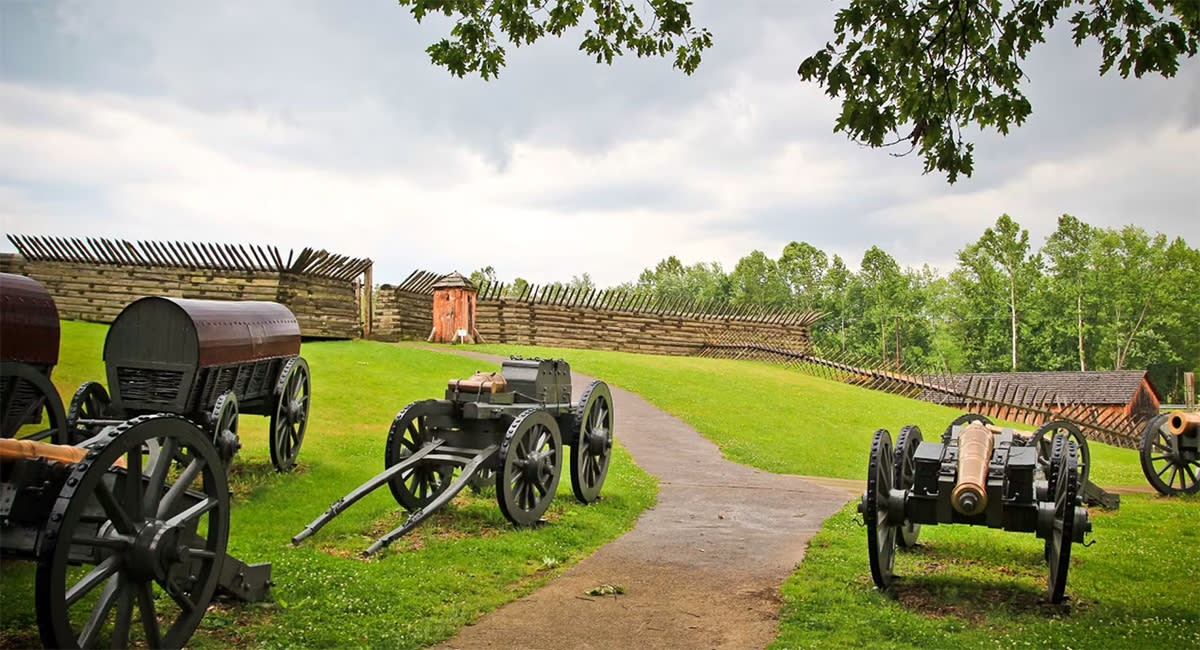
Ligonier itself is worth slowing down for. Fort Ligonier, a full walk-through reconstruction of a 1758 British fortification, sits a short walk from the town's diamond-shaped center. A few quick facts on the fort:
-
Built as a supply post for General John Forbes' campaign against the French at Fort Duquesne
-
Still under construction when it was attacked on October 12, 1758
-
The four-hour assault ended in a French retreat
-
Never taken by an enemy in its eight years as an active garrison
The on-site museum gallery covers all of these events in more detail than a roadside marker ever could. The square around the fort is ringed with shops and places to eat, a picturesque spot to park the car and walk for a while before continuing toward Seven Springs.
In fall, look for orchards, roadside produce stands, and corn mazes around Ligonier. Check the Laurel Highlands seasonal events listings for what's currently open.
Routes 711 and 381: Ligonier to Seven Springs, Into the High Country
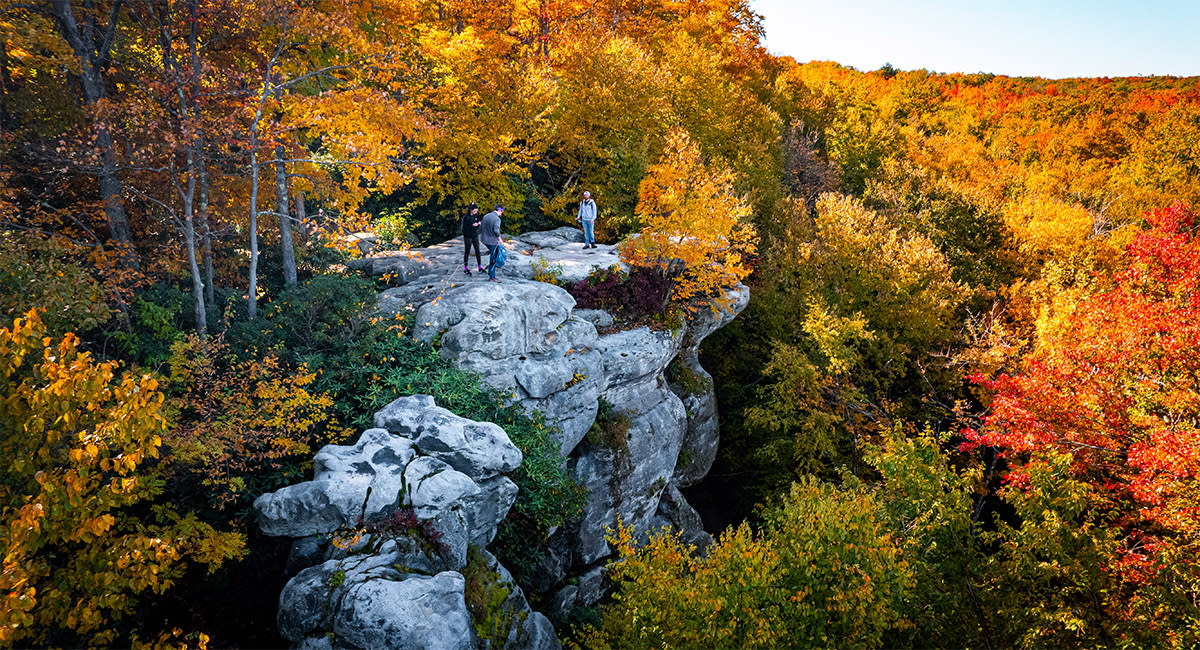
From Ligonier, Routes 711 and 381 head south into Forbes State Forest. The pavement turns to gravel past Linn Run as the road climbs toward Laurel Summit, so be aware of this in advance if you're not used to unpaved stretches. Linn Run State Park itself is worth a stop on its own; the Adams Falls Trail is short and sits right off the main road.
Two overlooks make this leg of the drive worth the detour. Wolf Rocks Overlook sits at the end of a roughly four-mile hiking trail loop with a sweeping view of Linn Run State Park below, while Beam Rocks Overlook, near the Somerset and Westmoreland county line, is an easier half-mile walk to a similarly wide scenic overlook. Both sit on open rock with no railings or platforms, so watch your footing and keep kids close. This is also the highest ground on the whole route, and the reason color tends to show up here before it reaches the valleys on either side.
Seven Springs Mountain Resort typically runs its Autumnfest on weekends in October, with craft and artisan vendors, live music, and scenic chairlift rides over the changing colors below.
Route 381 South: Champion to Ohiopyle, Save Extra Time for this Drive
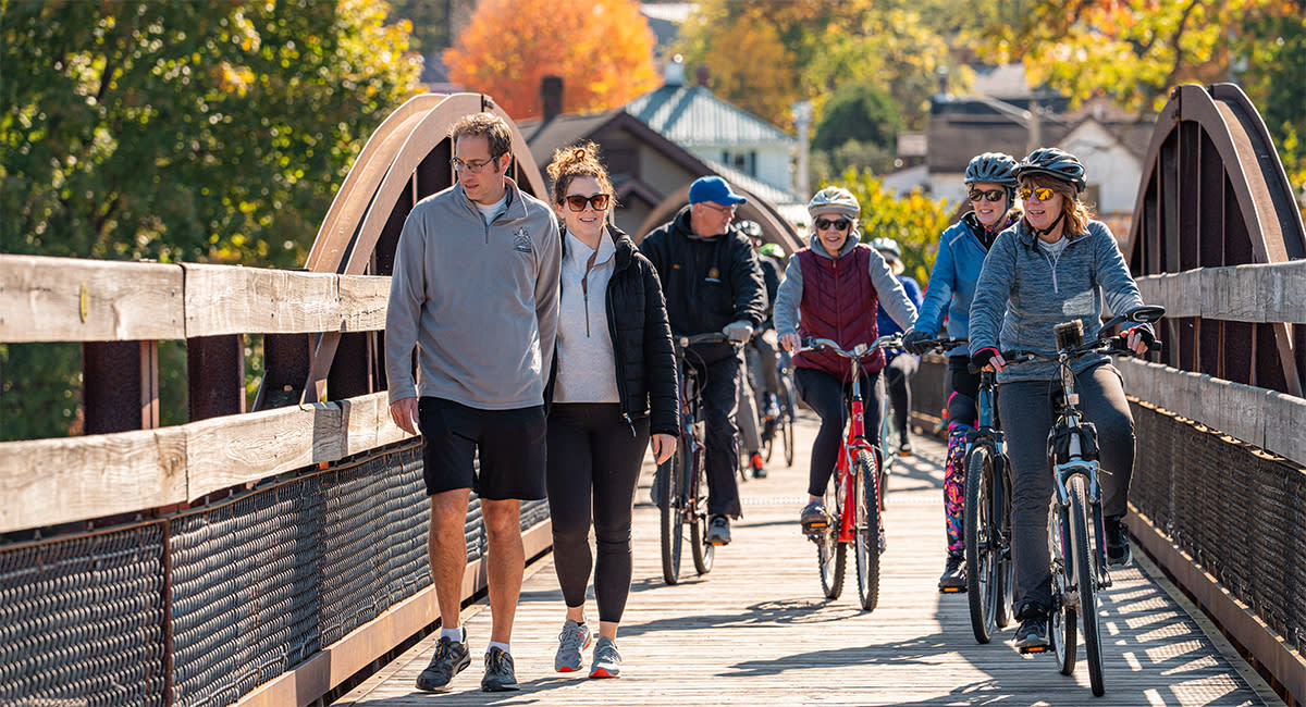
Build the rest of your trip around this segment. It carries you into Fayette County and two of the region's best-known stops, and it rewards patience more than any other leg of this route.
Two Frank Lloyd Wright homes anchor this leg:
-
Frank Lloyd Wright's Fallingwater: Built directly over a waterfall. Requires advance reservations for its house tour, the site's own booking guidance points toward reserving well ahead for October, commonly four to six weeks out, since tours can sell out.
-
Kentuck Knob: Six miles from Fallingwater. Overlooks the Youghiogheny River Gorge, a quieter stop if you'd rather skip the crowd.
Then comes Ohiopyle, the centerpiece of the whole trip, not just this segment:
-
Baughman Rock Overlook: A five-minute drive from the visitor center.
-
Cucumber Falls and Ohiopyle Falls: Both are easy to reach on foot.
-
The Great Allegheny Passage: The rail trail that runs right through town and on toward Confluence in one direction and Connellsville the other, if you'd rather see the gorge on two wheels. Further south it connects to trailheads for the Laurel Highlands Hiking Trail, a 70-mile route for anyone who wants more than an afternoon on foot.
None of it stays quiet for long once the color turns. Arrive early on fall weekends. This is the one stop on the whole route where that advice matters most.
If you have extra time, take a detour into southern Somerset County:
-
Packsaddle Covered Bridge, near Rockwood, also known as the Doc Miller Bridge. One of the region's most-photographed historic covered bridges, and the only one in Pennsylvania built directly over a waterfall.
-
Mount Davis, further south, the highest point in Pennsylvania at 3,213 feet. Has an observation tower with wide views over the ridge.
-
Barronvale Covered Bridge, nearby, the longest covered bridge in Somerset County, spans Laurel Hill Creek.
It's a longer loop than the main route, but a rewarding one if waterfalls and covered bridges are what you came for.
Closer to the main route, Christian W. Klay Winery sits at roughly 2,300 feet and offers a hay wagon ride up to its high point during events.
Get Planning
Ready to plan the rest of your trip? Request the free Laurel Highlands Destination Guide or sign up for the e-newsletter for trip ideas, events, and seasonal updates delivered straight to you.
Frequently Asked Questions
What is considered the Laurel Highlands?
The Laurel Highlands refers to Fayette, Somerset, and Westmoreland counties in southwestern Pennsylvania, a mountainous region of roughly 3,000 square miles east of Pittsburgh. It's a four-season destination built around its state parks and forests, with towns like Ligonier, Somerset, and Uniontown anchoring the different corners of the region. Beyond the fall drives covered in this guide, it's also known for landmarks like Fallingwater, Kentuck Knob, Ohiopyle State Park, and the Flight 93 National Memorial in Stoystown, all within the same three-county area.
Is Fallingwater in the Laurel Highlands?
Yes. Fallingwater sits in Mill Run, in Fayette County, about 90 minutes from downtown Pittsburgh. It's one of the most visited stops in the region and a highlight of the Route 381 segment described above, roughly six miles from Kentuck Knob and a short drive from Ohiopyle State Park, which makes it easy to fold into the same day. Because it's a working historic site with timed tours rather than a drop-in attraction, it's worth booking your visit before you finalize the rest of your route, not after.
Are corn mazes and orchards open during peak fall foliage season?
Generally, yes. Most agritourism stops across all three Laurel Highlands counties run into the fall, and many times their busiest weekends overlap with color season on purpose. That said, specific hours, dates, and which orchards or mazes are operating change from year to year and farm to farm. Check the Laurel Highlands Fall Festivals page or the Agritourism listings for what's currently running before building a specific stop into your route, rather than assuming a spot you've read about elsewhere is still open.
Where can I check current foliage conditions before I go?
The Pennsylvania DCNR's fall foliage report is the source to bookmark, updated weekly through the season and broken out by region. It's the same report referenced above, worth checking again within a few days of departure rather than relying on what it said when you first planned your trip.

